

Archivnummer
BAS 4547
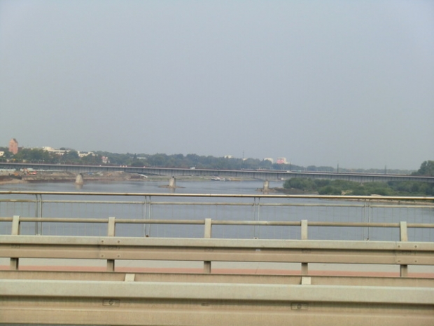
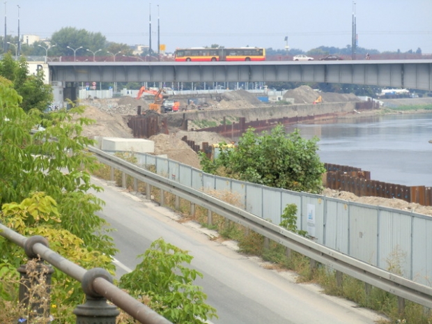
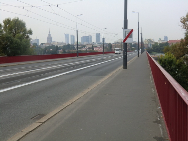
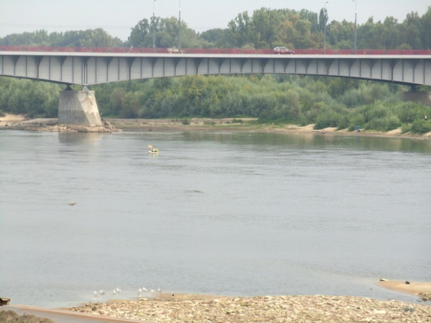
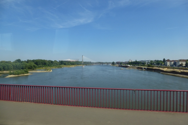
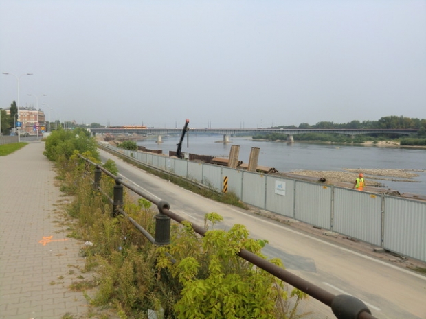
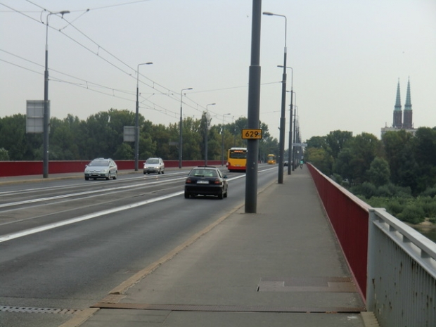
Most Slasko-Dabrowski / Wisla
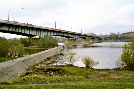
Bild-ID: 6849
Fotograf: wowa44 ( www.vistulabridges.com )
 Fotonutzung ?
Land:
Region:
Stadt:
Lage:
Fluss/Tal:
Verkehrsweg:
Brückentyp:
Material:
Baujahr:
Spannweite:
Gesamtlänge:
Breite:
Brückenfläche:
Fahrbahnhöhe:
Pfeilerhöhe:
Status:
Details:
33. The Warsaw Slasko-Dabrowski Bridge is named after its contructors and workers, allegedly coming mostly from Silesia. Located on site of the oldest Warsaw river crossing, the Kierbedz Bridge, destroyed by the retreating Wehrmacht and not reconstructed. The current one was opened in 1949 as the second of the now existing Warsaw bridges, forms part of the so-called WZ road, initially the transit link on the West-East axis. Now the bridge serves mostly the local traffic purposes. Length 527 m, width 21 m, tram track in the middle. Offers a nice panorama of the Old Town. Two plaques, one commemorates the escaping underground soldiers who killed the Warsaw Gestapo chief and jumped to the river here, and another commemorates the aborted attempts of the approaching Soviet-allied Polish army to cross the river in September 1944.
Baulastträger:
Baulastnummer:
Lageplan
Breitengrad, Längengrad: 52.2489016667, 21.0211800000
Fotos ( 23 )