

Archivnummer
BAS 4554
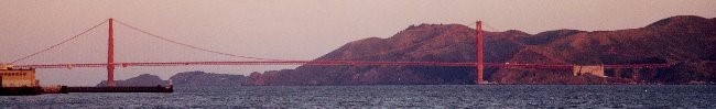
Sandornierz Most

Bild-ID: 6854
Fotograf: wowa44 ( www.vistulabridges.com )
 Fotonutzung ?
Land:
Region:
Stadt:
Lage:
Fluss/Tal:
Verkehrsweg:
Brückentyp:
Material:
Baujahr:
Spannweite:
Gesamtlänge:
Breite:
Brückenfläche:
Fahrbahnhöhe:
Pfeilerhöhe:
Status:
Details:
24. The Sandomierz Bridge was opened in 1953, almost same time as the Gora Kalwaria Bridge - and two resemble one another very much. Length 456 m. The bridge does not sit on any major transit route, though may be used for some limited transit. The traffic at times is quite intense, though mostly local. The bridge offers very nice view over a medieval town of Sandomierz, itself a lovely place to visit. Historically in Little Poland, now in-between the voivodships of Swietokrzyskie (left bank) and Podkarpackie (right bank). Probably the last bridge before Vistula takes shape of a big river. A publicly accessible footpath goes below the road surface.
Baulastträger:
Baulastnummer:
Lageplan
Breitengrad, Längengrad: 50.6741333333, 21.7560183333